TUSCALOOSA, Ala. — Researchers at The University of Alabama will lead a project to develop and deploy radars that obtain information about snow and soil moisture to help manage the nation’s water resources.
The project is funded through $6 million from the National Oceanic and Atmospheric Administration, or NOAA, in partnership with the University Corporation for Atmospheric Research, or UCAR.
It includes $5 million for the University and $1 million to UCAR to establish new capabilities enabling the National Water Model, the nation’s first-ever continental-scale hydrologic prediction system operated by the NOAA’s National Water Center, located on the UA campus.
“This is excellent news for The University of Alabama, our state and the nation,” said U.S. Senator Richard Shelby of Alabama. “The research made possible by this $6 million grant will drive scientific advances to help improve the nation’s water prediction capabilities and forecasts. I am proud to have helped secure this funding that will better protect the lives and property of all Americans.”
UA President Stuart R. Bell said, “This award further demonstrates the University’s commitment to cultivating a research culture that will have a far-reaching impact. We are very pleased to see our research efforts making a significant difference for water resources and for the nation at large.”
Faculty, students and staff with the UA Remote Sensing Center, part of the Alabama Water Institute, will lead the development of radars capable of high-resolution measurements from radar fixed to airplanes flying at medium and high altitudes
“This award leverages existing partnerships, boosting opportunities for our researchers to be successful in addressing challenges facing society,” said Dr. John C. Higginbotham, UA interim vice president for research and economic development. “Our expertise in remote sensing is an asset in our nation’s efforts to prepare and manage hydrological events.”
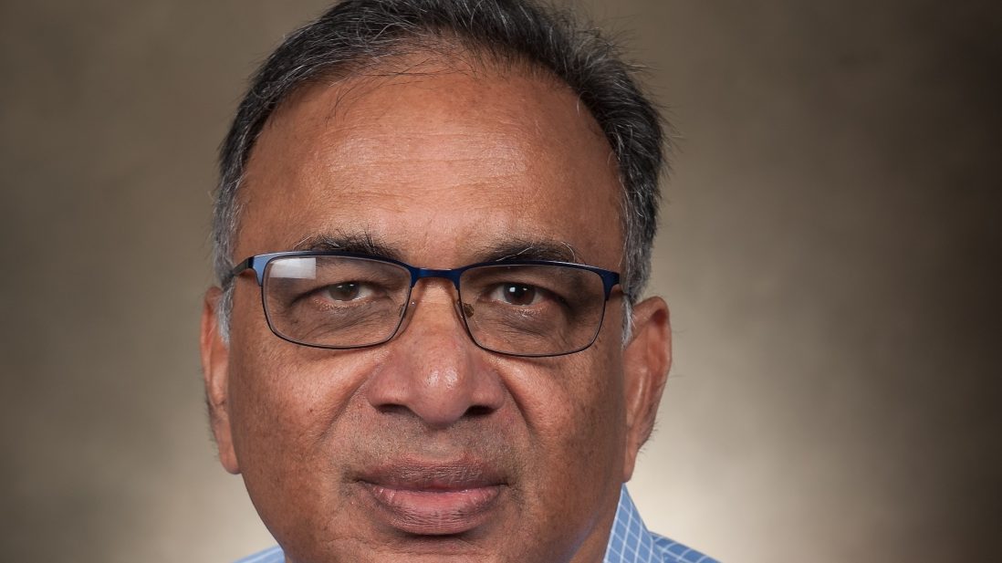
Dr. Prasad Gogineni, the Cudworth Professor of Engineering at UA and an internationally recognized expert in the field of remote sensing, directs the center established by UA trustees in 2017.
“We are developing a world-class remote sensing center on campus to contribute to the efforts of the National Water Center to improve flood and drought forecasts and manage operations during floods,” Gogineni said.
Precise measurements of snow depth and water in the soil can help those who manage water resources, such as reservoirs, and officials who prepare and manage for flood or drought events, Gogineni said. Researchers with UCAR and NOAA will model and analyze the data.
“Water managers, public safety officials and business leaders are seeking this kind of intelligence to protect lives and property and safeguard our economy,” said Dr. Antonio Busalacchi, the president of UCAR. “This project is further evidence of the productive and maturing relationship that exists among UCAR, UA and NOAA to grow the nation’s water prediction capabilities. It is a perfect example of an academic-government partnership that we need more of to move cutting edge research into operational forecasting.”
The support of Shelby and others in Congress has been instrumental in advancing the nation’s water prediction capabilities, Busalacchi added.
As part of its mission, the National Water Center models and forecasts flood and droughts, and data from the radar imaging developed by UA will improve those forecasts, Gogineni said.
“If you want to manage water resources effectively, you need better information,” he said. “The information that exists is not sufficient.”
Dr. Ying-Hwa “Bill” Kuo, director of UCAR Community Programs, said the data will serve a vital role.
“This research will fill a critical gap needed to continue to improve the performance of the National Water Model,” he said. “UCAR is very pleased to partner with UA and the National Water Center on this important effort.”
UA researchers, with an assist from colleagues at the University of Kansas, will develop ultra-wideband, or UWB, radars for aircraft to begin field testing in the spring of 2019.
UWB radar operates over a large bandwidth to penetrate deep into snow and soil, as opposed to commercial radios or satellites that use microwave frequencies with large antennas to transmit over longer distances.
The proposed radar will image not just below the aircraft, but on the sides as well, allowing it to view a larger swath of earth.
“This is going to be a state-of-the-art system with multiple receivers and multiple transmitters to be able to look straight down as well as to the sides,” Gogineni said.
Over the longer term, the UWB radars will be made smaller and integrated with sensors operating on other parts of the electromagnetic spectrum to provide high-resolution, fine-scale imaging over large areas. The system should be able to image snow as thin as 3 centimeters to as thick as 2 meters from high altitudes.
Funding will support new technical and administrative support staff for the Remote Sensing Center along with providing leading-edge technological research to a post-doctoral researcher, 15 graduate students and 15 undergraduate students.
“Education and training is integrated in all aspects of the research,” Gogineni said.
Contact
Adam Jones, UA communications, 205-348-4328, adam.jones@ua.edu
