TUSCALOOSA, Ala. — Work by geologists from The University of Alabama show that a layer of heated earth just below portions of Antarctica is pushing the Transantarctic Mountains up from the ground.
The work, which will be featured as the cover story for the May issue of the journal Geology, addresses a long-term debate on how the mountains formed by testing and confirming a previously proposed origin model with new data.
“We are closer to having a definitive answer to what’s happening in this area now than we were before this project started,” said Dr. Samantha E. Hansen, UA associate professor of geological sciences. “From a larger scale perspective, understanding how the mountain range uplifted and the history behind that tells us a lot about the continent as a whole and the way it came into its present state.”
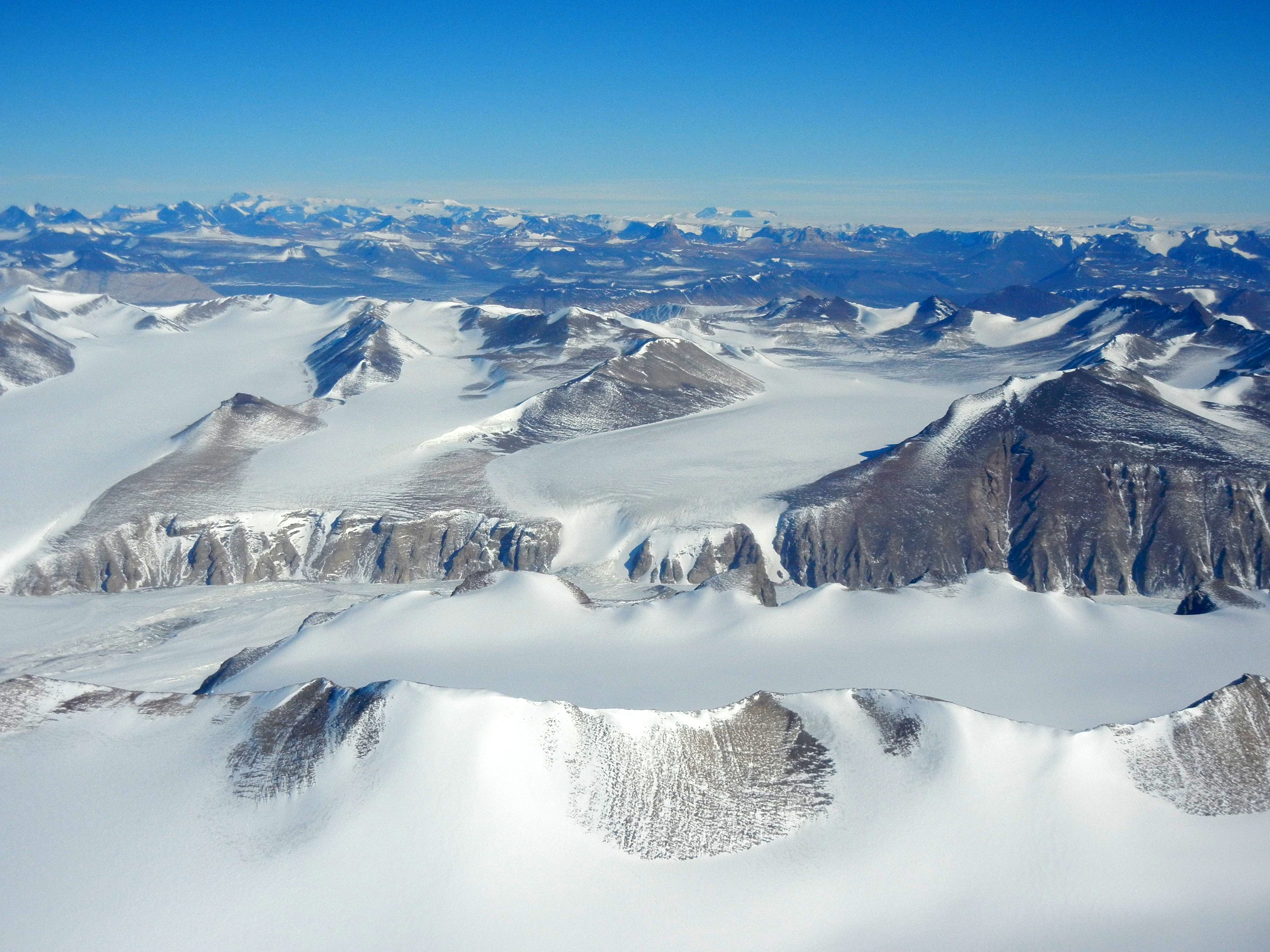
Unlike the vast majority of mountain ranges across Earth, the Transantarctic Mountains did not form through compression, or two continental plates smashing into each other, such as with the Rocky Mountains. Although some other mountain ranges formed without compression, the Transantarctic Mountains are different from even those.
It is the longest and tallest non-compressional mountain range on Earth even though much of it is buried under snow and ice, making it hard to understand how it formed.
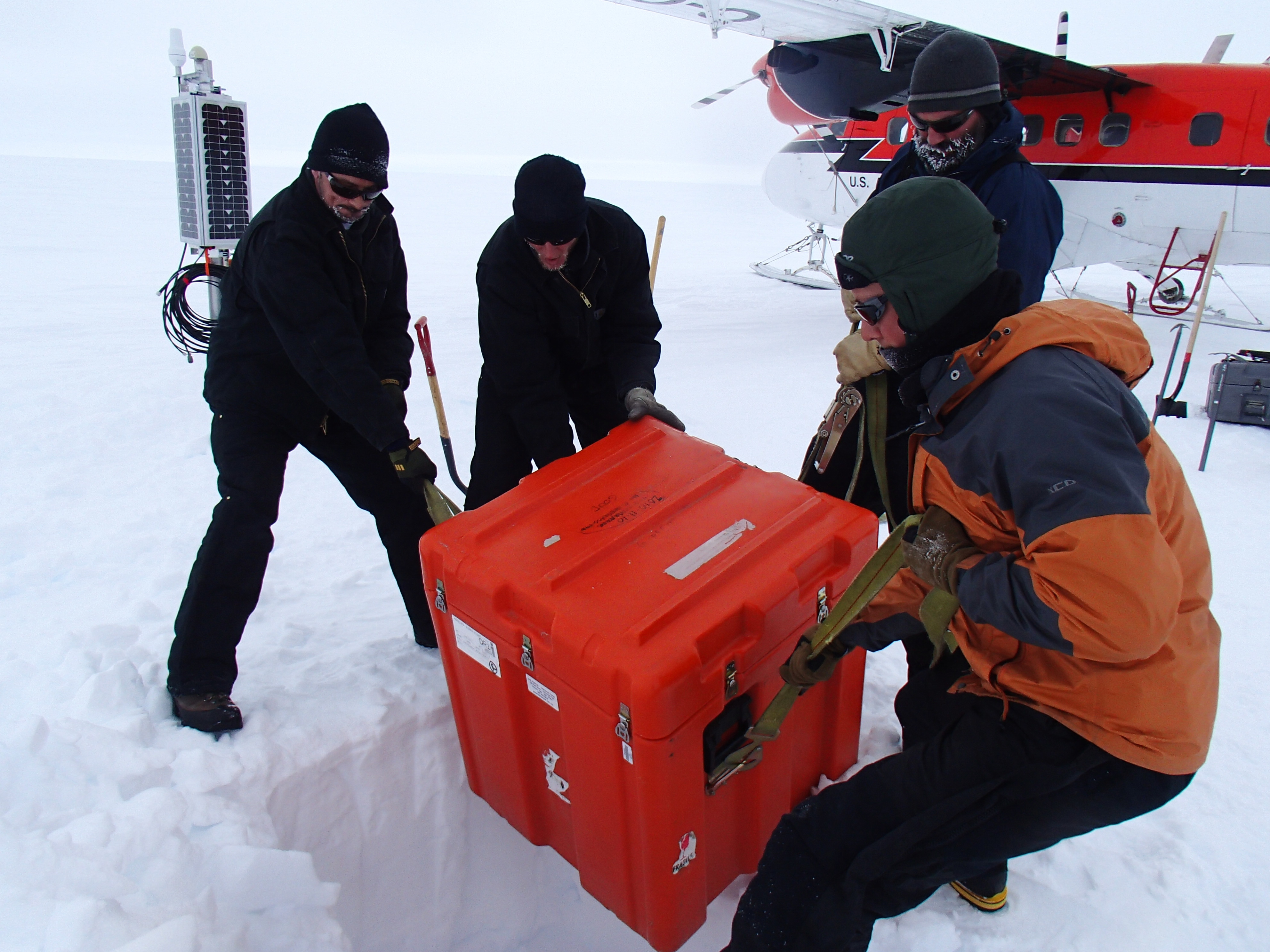
Hansen and students in her lab, which focuses on earthquake seismology, studied the Transantarctic Mountains as part of a five-year grant from the National Science Foundation that allowed deployment of a seismic network that collected data for three years. Similar to a medical scan of the body, the 15 stations in the network buried in Antarctica used seismic waves created by earthquakes from around the globe to create an image of the Earth below the mountains.
“This part of the mountain range hasn’t been studied with seismic methods,” she said. “This is one of the best ways we have to look at deeper structure and relate that to what is happening on the surface.”
A rift is pulling part of Antarctica apart, thinning the Earth’s uppermost layer, known as the crust. The seismic images reveal areas where the crust is thin around the mountains, creating shallow spots where the next deepest layer, the mantle, is closer to the surface.

Unlike the crust, the mantle is hot and more flexible. As it gets closer to the surface, it creates forces of thermal buoyancy at certain points.
“This hot material is buoyant, and it is pushing up on the edge of East Antarctica, pushing the mountain range upward,” Hansen said.
As temperatures around the globe have warmed, Antarctica, with its mostly glacier-covered land, has come into focus, Hansen said.
“Antarctica is arguably the last frontier in that we know very little about that continent,” she said. “Our images of the structure underneath Antarctica can also be used to determine how stiff or soft the mantle is, which really dictates how the ice sheet on top of it is going to behave.”
Co-authors on the paper include Gregory R. Brenn, a former student in Hansen’s lab who graduated with a master’s degree in December and who now works for Geoscience Australia, and Dr. Yongcheol Park from the Korea Polar Research Institute.
Contact
Adam Jones, UA media relations, 205/348-4328, adam.jones@ua.edu
Source
Dr. Samantha E. Hansen, 205/348-7089, shansen@ua.edu