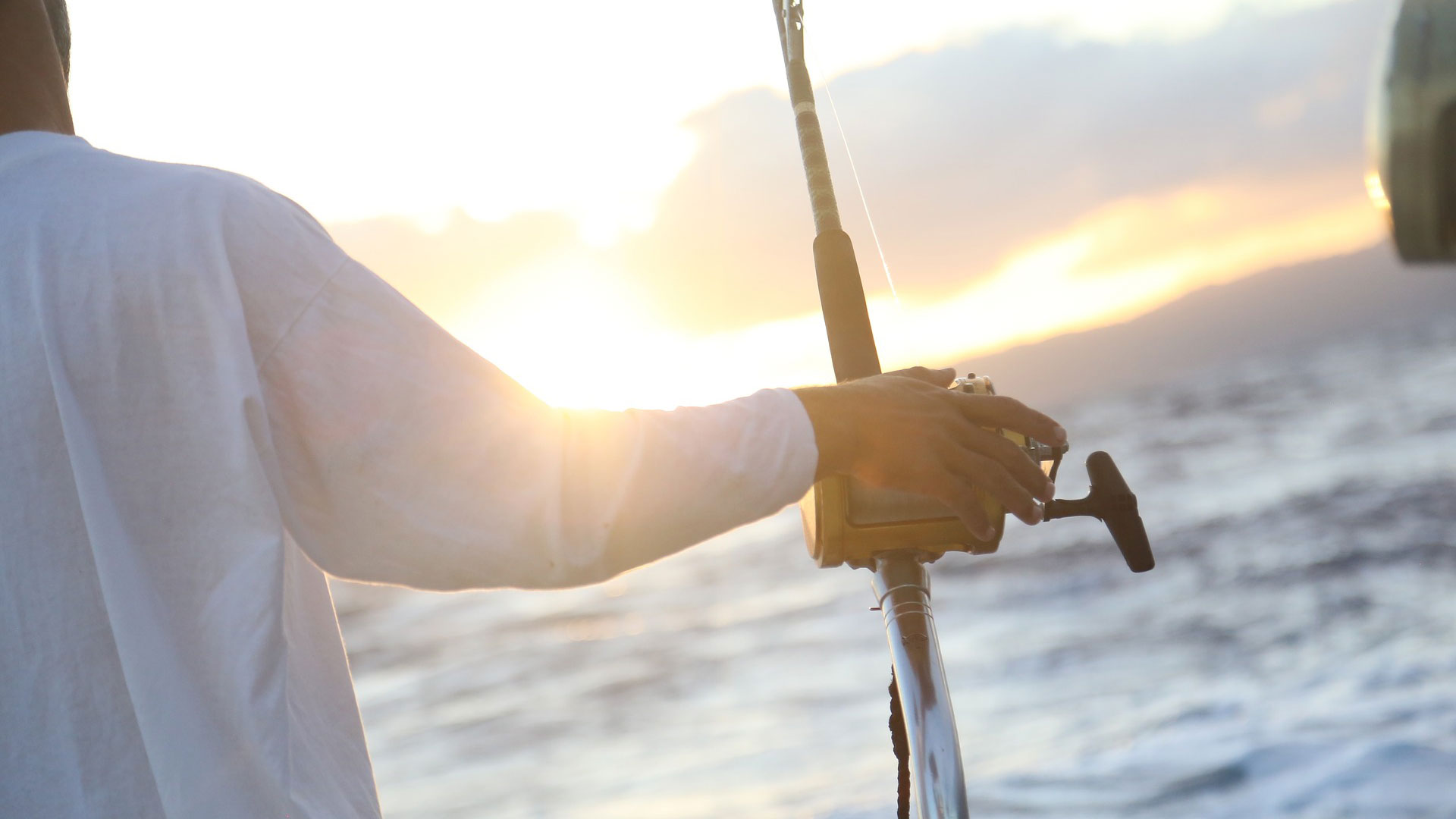

A new mobile app from the Alabama Water Institute and the Mississippi-Alabama Sea Grant Consortium provides a fast, interactive way to find important weather, boating, safety and fishing information for the Gulf of Mexico.
A student-led project from The University of Alabama’s Management Information Systems program, the app allows users to instantly access information about weather, tides, buoy stations, water safety and fishing regulations based on their location.
“You’d normally have to search for all this information separately, so it’s really a one-stop shop,” said Presley Gobbell, marketing lead for the MIS team from Lawrenceburg, Tennessee, who graduated in December.
The home page of the app offers a quick look at the user’s location and features easy-to-read navigation buttons.
The weather area provides current temperature, precipitation, humidity and wind speed, as well as hourly and 7-day forecasts. The regulations section has information provided by Fish Rules, LLC, a third-party source that offers quick access to location-specific, up-to-date fishing regulations, such as season openings and bag limits on a variety of species. It also has information on obtaining both saltwater and freshwater fishing licenses.
The safety section covers several topics crucial to boaters out on the water.
“Users can see important safety features about their boat, as well as access emergency procedures, such as how to contact the U.S. Coast Guard if they run into trouble,” said Abbie Merker a senior from Marietta, Georgia, and one of the project’s student developers.
The map allows the user to select from several tide and buoy stations that provide current information about high and low tide times, tide height, wave height and more. Coast Guard stations are also listed on the map with radio frequencies for maritime safety information broadcasts and distress calls. This information will also be available even with no cellular service.
“It stores your last-accessed location locally on your device, so anything like diving flags, equipment or what to do in case of emergency is saved in the app,” said Sam Barnes, the project’s team lead and an MIS graduate student from Owens Cross Roads, Alabama, who earned his bachelor’s degree in finance from UA.
Under the regulations section, users can also scout specific locations on the map to help plan a fishing getaway.
“If you’re planning to go to Tampa or Gulf Shores, for example, you can drop a pin on those locations and all the fish relevant to that area will show up,” said Griffin Turner, tech lead for the project from Delta, Alabama, who graduated in December. “You’ll be shown a screen that’s populated with information ranging from the size of the fish, how many you can catch and even gear that you can use.”
While the app is currently only available for the Gulf of Mexico, there is the possibility for growth into other areas of the country.
“If Fish Rules decides to expand to the east and west coasts, as long as the way they provide information doesn’t change too much, the app could potentially grow to cover those areas,” said Garrett McGiffert, a student developer from Tuscaloosa who graduated in December.
The app started as a partnership project between AWI and Mississippi-Alabama Sea Grant in 2019.
“I have become a big fan of undergraduate capstone projects,” said LaDon Swann, the director of Mississippi-Alabama Sea Grant. “I am amazed at what a group of dedicated students can do during a semester. As a fisherman, I have always looked for ways to reduce the number of phone apps I have to check when planning a fishing trip. This app has the potential to be the go-to app for me.”
The first team of UA MIS students developed the framework before handing it off after they graduated.
“The team prior to this was able to get an initial version deployed to Android, and this team was able to build it up and get it onto Apple as well,” said Dr. Gary Spurrier, faculty sponsor and assistant professor of information systems, statistics and management science.
The current team of students finished the first version of the app prior to the end of fall semester 2021. Most have graduated, but have left behind a wish list as updates and developments continue.
“We would like to see a citizen science function where you could upload information and photos about fish you’ve caught in a certain area to help with data collection for fisheries around the Gulf,” said Turner.
Turner said working with AWI and Mississippi-Alabama Sea Grant has been a rewarding experience, and UA has prepared him for the next steps in his career.
“One of the companies I was interviewing with was greatly impressed with how UA’s MIS program specifically implements a curriculum that sets us up for success in life after collegiate environment,” he said.
By bringing this project to the public and partnering with the MIS program and its students, AWI is helping to strengthen one of UA’s strategic goals to increase innovation in research, scholarship and creative activities that impact economic and societal development.
The app is now available by searching “MAPP-AWI” on iOS and Android.
A version of this story by Brock Parker was originally published by the Alabama Water Institute.