
TUSCALOOSA, Ala. – Researchers at The University of Alabama are working to develop advanced computational earth science and coastal models that help coastal communities prepare for flooding from tropical storms and hurricanes.
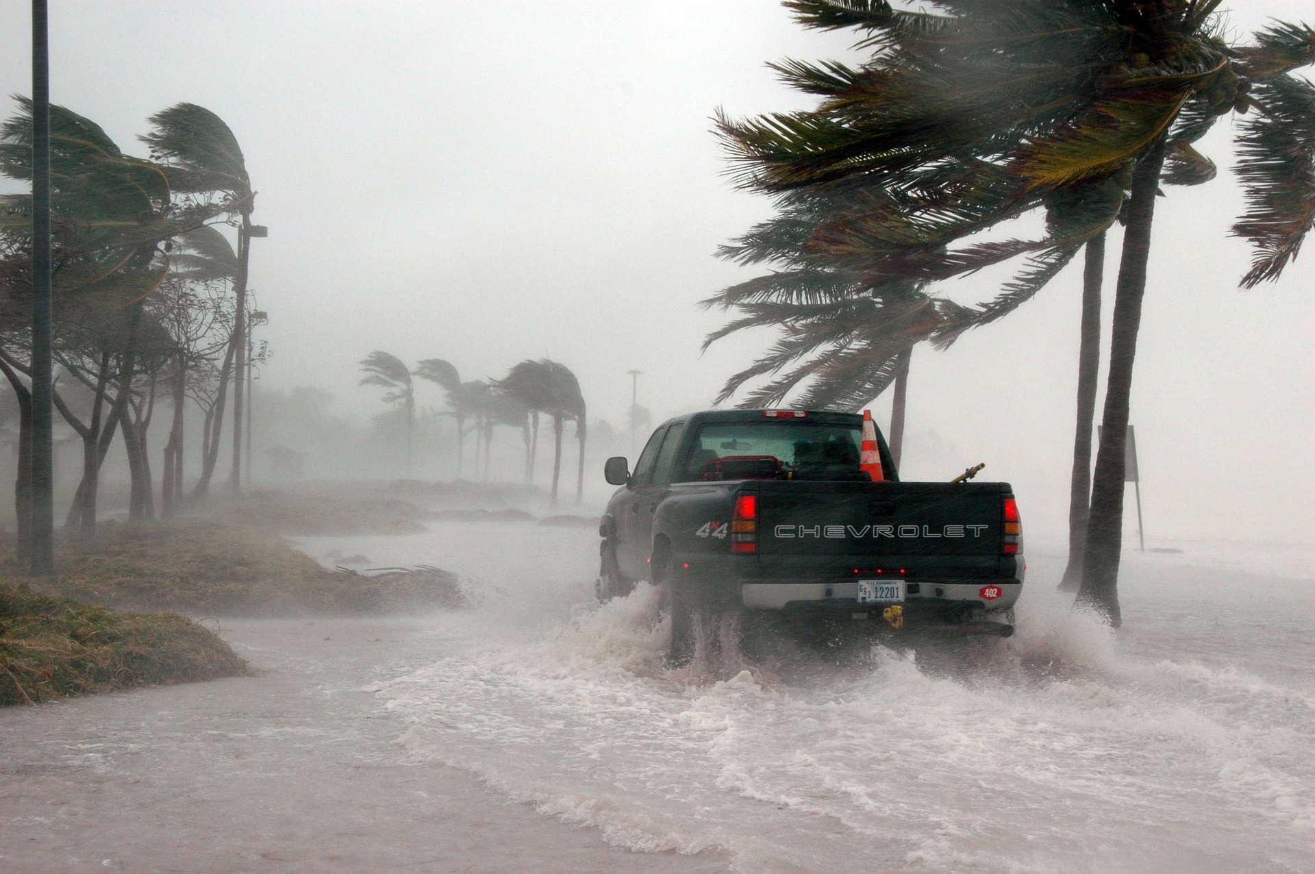
Sometimes overlooked compared to the wind strength of a tropical cyclone, flooding is as big a problem for coastal systems. For example, of the 30 most expensive tropical cyclones to make landfall in the United States from 1900 through 2017, only five were classified as category 4 or category 5 hurricanes, a rating based on the intensity of sustained winds.
Funded by a $2.84 million grant from the U.S. Army Corps of Engineer Research and Development Center, the work by researchers in the UA Center for Complex Hydrosystems Research will identify flooding hotspots along the Southeastern U.S. coastline and provide a way for emergency responders and local decision-makers to better prepare for flooding from tropical cyclones.
“Hurricanes pose risk to coastal communities through compounding hazards from coastal flooding to wind and intense precipitation, and the conventional methods that deal with these hazards one at a time can simply fail to represent the real hazard dynamics,” said Dr. Hamid Moradkhani, director of CCHR and Alton N. Scott professor of Civil and Environmental Engineering. “Employing the state-of-the-art data assimilation, machine learning, and integrated modeling while utilizing massive socio-economic and remotely sensed hydroclimate data, we develop a robust framework that creates an opportunity to forecast hurricane-driven flooding on a near real-time basis which has various emergency response implications.”
Moradkhani leads an interdisciplinary team with expertise in physically-based hydrologic modeling, data assimilation, coastal dynamics modeling, remote sensing and social sciences to ensure simulations are representative of the actual phenomenon.
Hurricanes and tropical storms bring a double whammy of flood risks. Strong winds generated from air pressure difference in and outside a tropical cyclone create a storm surge that pushes ocean water onto land while heavy rain from the warm, moist tropical storm air can flood further inland. While intense wind is a major hazard, flooding is responsible for the majority of damage in most storms.
“We have recently shown that the current system of hurricane categorization that is wind-based only and does not take flooding into account can yield in miscommunication of hazards and risks,” Moradkhani said.
This research project will produce flood hazard maps and flood forecasting tools emergency management personnel can use to prepare a coastal community ahead of a storm and best locate resources to mitigate risks. Along with broader scientific knowledge to further this area, the project’s products will be shared with those responsible for forecasting and preparing communities for tropical cyclones.
UA is located at the heart of Southeast, where most of the costly tropical cyclones make landfall, and under the leadership of Moradkhani and close collaboration with two center faculty affiliates, Dr. Hamed Moftakhari, assistant professor of civil, construction and environmental engineering, and Dr. Wanyun Shao, assistant professor of geography, along with several postdoctoral scholars and graduate students, the well-established regional network of the center can translate research findings and facilitate outreach and dissemination of research products and also engage stakeholders at different levels to make sure results are useful and relevant.
Contact
Adam Jones, UA communications, 205-348-4328, adam.jones@ua.edu